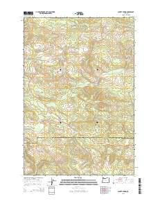
2014 Map of Sunset Spring
USGS Topo · Published 2014About this map
Sunset Spring and the rugged drainage basins of the Northern Oregon Coast Range define this 2014 survey. This portion of the mountains serves as a significant hydrological divide, where the headwaters of the N Fork Salmonberry River and various forks of Rock Creek emerge from the steep ridges. The map illustrates a landscape shaped by both natural topography and industrial access, with summits like Green Mountain and Dog Thief Point overlooking a network of timber and management roads. Significant thoroughfares like Us-26 and the McGregor Road cut through the timberlands, providing a clear view of the area's development for resource management. Local landmarks including Bear Creek, Wolf Creek, and Olson Creek are meticulously charted, offering a detailed perspective of the watershed before these streams descend toward the larger river systems of Clatsop and Tillamook counties.
Find a feature on this map
44 named features on this map. Tap any name to fly to it.
Don’t see what you’re looking for? This feature index may not catch every label — zoom into the map to look around manually.
Map Details
Editions of this 2014 Sunset Spring Map
This is the sole edition of this map. No revisions or reprints were ever made.
Other maps of this area

1937 · Enright
USGS Topo · 1:62,500

1939 · Saddle Mountain
USGS Topo · 1:62,500

1941 · Keasey
USGS Topo · 1:62,500

1941 · Timber
USGS Topo · 1:62,500

1941 · Enright
USGS Topo · 1:62,500

1943 · Keasey
USGS Topo · 1:62,500

1943 · Saddle Mtn.
USGS Topo · 1:62,500

1948 · Vancouver
USGS Topo · 1:250,000

1950 · Vancouver
USGS Topo · 1:250,000

1950 · Vancouver
USGS Topo · 1:250,000