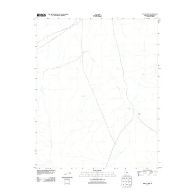
2011 Map of Supai Camp
USGS Topo · Published 2011About this map
Supai Camp serves as a primary human landmark in this arid portion of Coconino County, situated where the Hualapai Hilltop Hwy and Indian Service Road 18 traverse the high plateau. The landscape is defined by its water management infrastructure, essential for life and livestock in this environment. A network of numbered water catchments, including Tank Number Fifteen, Tank Number Fourteen, Tank Number Four, and Tank Number Three, are distributed across the terrain to capture seasonal runoff. These man-made features supplement natural drainage systems like Sand Creek and Sandstone Wash, which channel water through the desert. The positioning of Supai Tank near the camp highlights the critical intersection of transportation routes and water security in this part of Arizona.
Find a feature on this map
10 named features on this map. Tap any name to fly to it.
Don’t see what you’re looking for? This feature index may not catch every label — zoom into the map to look around manually.
Map Details
Editions of this 2011 Supai Camp Map
This is the sole edition of this map. No revisions or reprints were ever made.
Other maps of this area

1886 · Chino
USGS Topo · 1:250,000

1886 · Kaibab
USGS Topo · 1:250,000

1891 · Chino
USGS Topo · 1:250,000

1948 · Williams
USGS Topo · 1:250,000

1953 · Grand Canyon
USGS Topo · 1:250,000

1954 · Williams
USGS Topo · 1:250,000

1956 · Williams
USGS Topo · 1:250,000

1957 · Grand Canyon
USGS Topo · 1:250,000

1958 · Grand Canyon
USGS Topo · 1:250,000

1960 · Williams
USGS Topo · 1:250,000