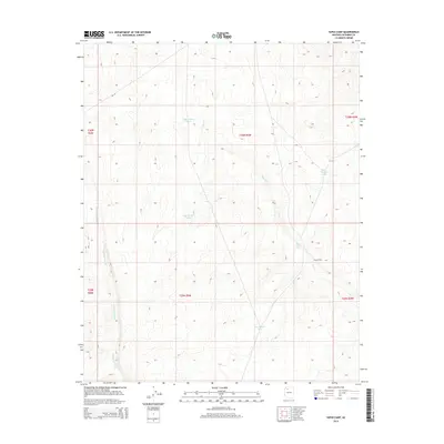
2014 Map of Supai Camp
USGS Topo · Published 2014About this map
Supai Camp sits within a landscape defined by an extensive network of seasonal water catchments and drainage systems in Coconino County. The area is marked by a series of numbered reservoirs, including Tank Number Fifteen, Tank Number Fourteen, and Tank Number Three, which support life in this arid environment. The terrain is carved by Sandstone Wash and the winding course of Sand Cr, reflecting the natural hydrology of the region. Transportation across these traditional lands is facilitated by Bia-18, a route managed by the Bureau of Indian Affairs. The map provides a detailed view of the township and range divisions, such as t30n r5w, illustrating the intersection of modern surveying with a long-inhabited landscape centered around Supai Tank.
Find a feature on this map
15 named features on this map. Tap any name to fly to it.
Don’t see what you’re looking for? This feature index may not catch every label — zoom into the map to look around manually.
Map Details
Editions of this 2014 Supai Camp Map
This is the sole edition of this map. No revisions or reprints were ever made.
Other maps of this area

1886 · Chino
USGS Topo · 1:250,000

1886 · Kaibab
USGS Topo · 1:250,000

1891 · Chino
USGS Topo · 1:250,000

1948 · Williams
USGS Topo · 1:250,000

1953 · Grand Canyon
USGS Topo · 1:250,000

1954 · Williams
USGS Topo · 1:250,000

1956 · Williams
USGS Topo · 1:250,000

1957 · Grand Canyon
USGS Topo · 1:250,000

1958 · Grand Canyon
USGS Topo · 1:250,000

1960 · Williams
USGS Topo · 1:250,000