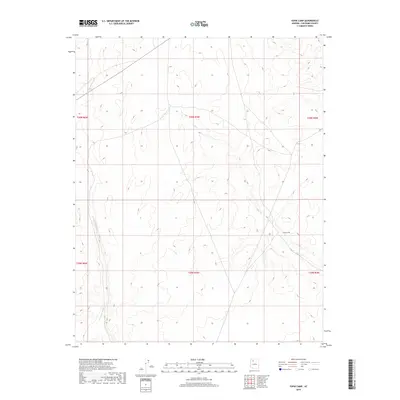
2018 Map of Supai Camp
USGS Topo · Published 2018About this map
Supai Camp serves as a primary human landmark in this section of Coconino County, situated at the edge of several township boundaries including t30n r4w and t29n r4w. The landscape is defined by the drainage patterns of Sandstone Wash in the west and Sand Cr in the east, which carve through the high desert topography. This 2018 survey documents the remote road network and public land survey system lines that organize the region, providing a clear view of how tribal or government lands are partitioned near these seasonal watercourses. The presence of these named washes indicates the significant role of intermittent hydrology in shaping the accessibility and settlement patterns of this arid northern Arizona territory.
Find a feature on this map
9 named features on this map. Tap any name to fly to it.
Don’t see what you’re looking for? This feature index may not catch every label — zoom into the map to look around manually.
Map Details
Editions of this 2018 Supai Camp Map
This is the sole edition of this map. No revisions or reprints were ever made.
Other maps of this area

1886 · Chino
USGS Topo · 1:250,000

1886 · Kaibab
USGS Topo · 1:250,000

1891 · Chino
USGS Topo · 1:250,000

1948 · Williams
USGS Topo · 1:250,000

1953 · Grand Canyon
USGS Topo · 1:250,000

1954 · Williams
USGS Topo · 1:250,000

1956 · Williams
USGS Topo · 1:250,000

1957 · Grand Canyon
USGS Topo · 1:250,000

1958 · Grand Canyon
USGS Topo · 1:250,000

1960 · Williams
USGS Topo · 1:250,000