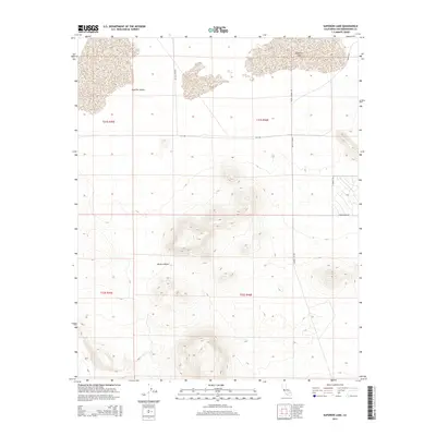
2015 Map of Superior Lake
USGS Topo · Published 2015About this map
Superior Lake and the dry expanse of the Superior Valley dominate this corner of the Mojave Desert in San Bernardino County. The landscape is defined by the stark transition from flat playa basins to the rising topographic contours of unnamed peaks in the central and southern sections. Sparse desert tracks provide the only human imprint, reflecting a remote region where land management is dictated by Public Land Survey System boundaries such as t31s r45e and t32s r46e. These survey lines intersect at critical junctures like Copper City Rd and City Rd, which appear as straight-line corridors across the arid terrain. The map captures the specialized geography of the high desert, where water features are ephemeral and the road network serves as a primary reference for navigating the open basin and range province.
Find a feature on this map
13 named features on this map. Tap any name to fly to it.
Don’t see what you’re looking for? This feature index may not catch every label — zoom into the map to look around manually.
Map Details
Editions of this 2015 Superior Lake Map
This is the sole edition of this map. No revisions or reprints were ever made.
Other maps of this area

1915 · Searles Lake
USGS Topo · 1:250,000

1933 · Avawatz Mountains
USGS Topo · 1:250,000

1947 · Trona
USGS Topo · 1:250,000

1948 · Trona
USGS Topo · 1:250,000

1948 · Lane Mountain
USGS Topo · 1:62,500

1948 · Goldstone Lake
USGS Topo · 1:62,500

1951 · Goldstone Lake
USGS Topo · 1:62,500

1951 · Lane Mountain
USGS Topo · 1:62,500

1953 · Trona
USGS Topo · 1:250,000

1954 · Pilot Knob
USGS Topo · 1:62,500