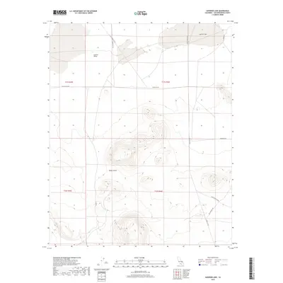
2018 Map of Superior Lake
USGS Topo · Published 2018About this map
Superior Lake and the surrounding Superior Valley define this arid landscape within the broader Mojave Desert. The map reveals a network of desert thoroughfares that suggest a history of resource extraction and transit, notably including Copper City Rd and Old Copper City Rd. These routes, along with Black Canyon Rd and Tinker Mountain Rd, navigate the complex topography of the region's basins and ranges. The presence of Williams Well Rd points toward the vital importance of water access in this environment. While no major towns are shown, the road names like Auburn Rd and Indian Springs Rd record the cultural footprint and named landmarks that local researchers and desert enthusiasts use to navigate this part of San Bernardino County.
Find a feature on this map
15 named features on this map. Tap any name to fly to it.
Don’t see what you’re looking for? This feature index may not catch every label — zoom into the map to look around manually.
Map Details
Editions of this 2018 Superior Lake Map
This is the sole edition of this map. No revisions or reprints were ever made.
Other maps of this area

1915 · Searles Lake
USGS Topo · 1:250,000

1933 · Avawatz Mountains
USGS Topo · 1:250,000

1947 · Trona
USGS Topo · 1:250,000

1948 · Trona
USGS Topo · 1:250,000

1948 · Lane Mountain
USGS Topo · 1:62,500

1948 · Goldstone Lake
USGS Topo · 1:62,500

1951 · Goldstone Lake
USGS Topo · 1:62,500

1951 · Lane Mountain
USGS Topo · 1:62,500

1953 · Trona
USGS Topo · 1:250,000

1954 · Pilot Knob
USGS Topo · 1:62,500