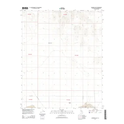
2015 Map of Superior Valley
USGS Topo · Published 2015About this map
Superior Valley and the surrounding reaches of the Mojave Desert characterize this 2015 survey of a remote San Bernardino County landscape. The map provides a detailed look at the infrastructure required for high-desert ranching and travel, notably identifying the Plural Ink Rnch in the southwestern quadrant. While much of the terrain is defined by dry basins and shifting contours, the presence of Indian Spring and the ephemeral Superior Lake at the southern edge highlights the critical role of intermittent water sources in this arid environment. Historical transportation routes are documented through the inclusion of Old Copper City Rd and Indian Springs Rd, which cut across the valley floor to connect isolated homesteads and springs.
Find a feature on this map
13 named features on this map. Tap any name to fly to it.
Don’t see what you’re looking for? This feature index may not catch every label — zoom into the map to look around manually.
Map Details
Editions of this 2015 Superior Valley Map
This is the sole edition of this map. No revisions or reprints were ever made.
Other maps of this area

1915 · Searles Lake
USGS Topo · 1:250,000

1933 · Avawatz Mountains
USGS Topo · 1:250,000

1947 · Trona
USGS Topo · 1:250,000

1948 · Trona
USGS Topo · 1:250,000

1948 · Lane Mountain
USGS Topo · 1:62,500

1948 · Goldstone Lake
USGS Topo · 1:62,500

1951 · Goldstone Lake
USGS Topo · 1:62,500

1951 · Lane Mountain
USGS Topo · 1:62,500

1953 · Trona
USGS Topo · 1:250,000

1954 · Pilot Knob
USGS Topo · 1:62,500