2022 Map of Surry
USGS Topo · Published 2022About this map
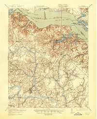
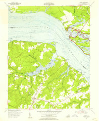
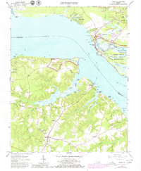
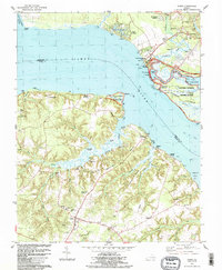
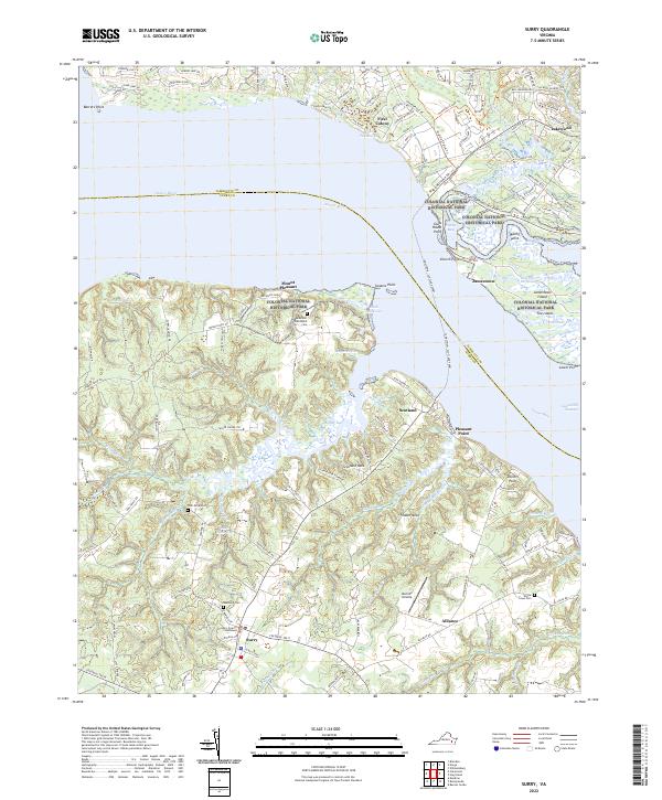
Jamestown Island and the neighboring shoreline of the James River serve as the focal point for this survey, where the administrative heart of Surry meets the protected lands of Colonial National Historic Park. The map documents a landscape defined by the convergence of early American history and the intricate tidal waterways of the Tidewater region. On the southern bank, the Surry County Courthouse and Oakwood Cem anchor the community, while the rural interior is marked by long-standing landmarks like Scotland Neck and the Melville Airstrip.
Find a feature on this map
138 named features on this map. Tap any name to fly to it.
Don’t see what you’re looking for? This feature index may not catch every label — zoom into the map to look around manually.
Map Details
Editions of this 2022 Surry Map
This is the sole edition of this map. No revisions or reprints were ever made.
Historical Maps of Alliance Through Time
5 maps found