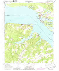
1965 Map of Surry
USGS Topo · Published 1980About this map
Surry serves as the inland hub for this tidewater landscape, where the James River shapes the local economy and culture. A ferry line connects Scotland to the northern shore, highlighting the historical importance of river crossings before modern bridge networks dominated the region. The map details the complex shoreline of Grays Creek and its many branches like Mother Gut and Peach Orchard Gut, which define the low-lying terrain of Scotland Neck.
Find a feature on this map
85 named features on this map. Tap any name to fly to it.
Don’t see what you’re looking for? This feature index may not catch every label — zoom into the map to look around manually.
Map Details
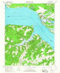
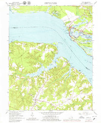
Editions of this 1965 Surry Map
3 editions found
Other maps of this area

1906 · Williamsburg
USGS Topo · 1:62,500

1907 · Yorktown
USGS Topo · 1:62,500

1917 · Toano
USGS Topo · 1:62,500

1918 · Toano
USGS Topo · 1:62,500

1919 · Surry
USGS Topo · 1:62,500

1943 · Yorktown
USGS Topo · 1:62,500

1943 · Richmond
USGS Topo · 1:250,000
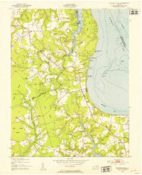
1948 · Bacons Castle
USGS Topo · 1:24,000

1949 · Richmond
USGS Topo · 1:250,000

1950 · Cobham Bay
USGS Topo · 1:24,000