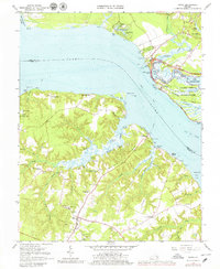
1965 Map of Surry
USGS Topo · Published 1979About this map
Jamestown and its surrounding colonial heritage sites dominate this mid-century survey of the Tidewater region. Across the James River, the settlement of Surry serves as a hub for the agricultural lands of Scotland Neck, where historic structures like Smith Fort and the Warren House stand as markers of early Virginian history. The landscape is defined by the shifting shoreline and tidal marshes, including Back River Marsh and the Tidal Flat near Swanns Point.
Find a feature on this map
85 named features on this map. Tap any name to fly to it.
Don’t see what you’re looking for? This feature index may not catch every label — zoom into the map to look around manually.
Map Details
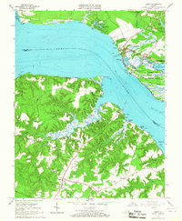
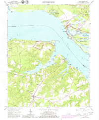
Editions of this 1965 Surry Map
3 editions found
Other maps of this area

1906 · Williamsburg
USGS Topo · 1:62,500

1907 · Yorktown
USGS Topo · 1:62,500

1917 · Toano
USGS Topo · 1:62,500

1918 · Toano
USGS Topo · 1:62,500

1919 · Surry
USGS Topo · 1:62,500

1943 · Yorktown
USGS Topo · 1:62,500

1943 · Richmond
USGS Topo · 1:250,000
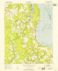
1948 · Bacons Castle
USGS Topo · 1:24,000

1949 · Richmond
USGS Topo · 1:250,000

1950 · Cobham Bay
USGS Topo · 1:24,000