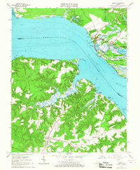
1965 Map of Surry
USGS Topo · Published 1967About this map
The historic site of Jamestown and the neighboring community of Surry are prominently featured on this mid-1960s survey, illustrating the deep colonial roots of the Virginia Tidewater. The James River serves as the central artery of the landscape, separated by the ferry line that links the north and south shores. On the James City County side, the Colonial National Historical Park preserves early American foundations, including the Jamestown Visitor Center and the original site ruins near Pitch and Tar Swamp. Across the water in Surry County, the terrain is defined by a series of deep tidal guts and creeks such as Grays Creek and Crouch Creek. This southern shore reveals an agricultural and residential pattern of small settlements like Scotland, Alliance, and Old Courthouse Corners. Genealogists may find value in the many local landmarks, from Smith Fort to rural congregations like Lebanon Ch and cemeteries including Oakwood Cem and Poplar Lawn Cem.
Find a feature on this map
71 named features on this map. Tap any name to fly to it.
Don’t see what you’re looking for? This feature index may not catch every label — zoom into the map to look around manually.
Map Details
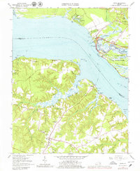
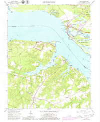
Editions of this 1965 Surry Map
3 editions found
Other maps of this area

1906 · Williamsburg
USGS Topo · 1:62,500

1907 · Yorktown
USGS Topo · 1:62,500

1917 · Toano
USGS Topo · 1:62,500

1918 · Toano
USGS Topo · 1:62,500

1919 · Surry
USGS Topo · 1:62,500

1943 · Yorktown
USGS Topo · 1:62,500

1943 · Richmond
USGS Topo · 1:250,000
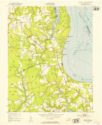
1948 · Bacons Castle
USGS Topo · 1:24,000

1949 · Richmond
USGS Topo · 1:250,000

1950 · Cobham Bay
USGS Topo · 1:24,000