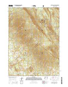
2014 Map of Surveyor Mountain
USGS Topo · Published 2014About this map
Winema National Forest dominates this section of the Southern Cascades, defined by a series of prominent volcanic peaks and an intricate network of forest management roads. The namesake Surveyor Mountain and nearby Surveyor Peak anchor the high ground, while Kent Peak and Buck Mtn provide additional topographical relief. Water management is a primary feature of the lower elevations, where Lower Sheepy Reservoir, Sheepy Reservoir, and Parker Reservoir collect drainage from seasonal creeks such as Sheepy Cr and Cold Cr. The land use pattern reflects a landscape structured for resource management and recreation, with historic routes like Walters Cabin Rd and Keno Access Rd providing access to the high backcountry. From the Rock Slide on the northern slopes to the seasonal flows at Gold Spring and Otwin Spring, the map documents a terrain where geology and hydrography dictate the path of human infrastructure.
Find a feature on this map
34 named features on this map. Tap any name to fly to it.
Don’t see what you’re looking for? This feature index may not catch every label — zoom into the map to look around manually.
Map Details
Editions of this 2014 Surveyor Mountain Map
This is the sole edition of this map. No revisions or reprints were ever made.
Other maps of this area

1891 · Ashland
USGS Topo · 1:250,000

1893 · Ashland
USGS Topo · 1:250,000

1897 · Ashland
USGS Topo · 1:250,000

1955 · Lake O' Woods
USGS Topo · 1:62,500

1955 · Surveyor Mtn
USGS Topo · 1:62,500

1955 · Hyatt Reservoir
USGS Topo · 1:62,500

1955 · Mt. Mc Loughlin
USGS Topo · 1:62,500

1955 · Medford
USGS Topo · 1:250,000

1957 · Medford
USGS Topo · 1:250,000

1958 · Medford
USGS Topo · 1:250,000