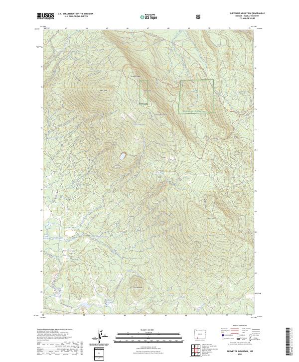
2023 Map of Surveyor Mountain
USGS Topo · Published 2023About this map
Surveyor Mtn and its namesake peak dominate this high-altitude landscape within the Cascade-Siskiyou National Monument and Winema National Forest. The map documents a complex network of forest roads and spurs, such as Kent Spur A and Cold Kent, which navigate the steep drainage systems of Johnson Creek and Jenny Creek. This 2023 survey illustrates the modern management of these protected lands, highlighting numerous alpine glades like Cherry Glade and Puckett Glade that break the dense forest cover.
Find a feature on this map
50 named features on this map. Tap any name to fly to it.
Don’t see what you’re looking for? This feature index may not catch every label — zoom into the map to look around manually.
Map Details
Editions of this 2023 Surveyor Mountain Map
This is the sole edition of this map. No revisions or reprints were ever made.
Other maps of this area

1891 · Ashland
USGS Topo · 1:250,000

1893 · Ashland
USGS Topo · 1:250,000

1897 · Ashland
USGS Topo · 1:250,000

1955 · Lake O' Woods
USGS Topo · 1:62,500

1955 · Surveyor Mtn
USGS Topo · 1:62,500

1955 · Hyatt Reservoir
USGS Topo · 1:62,500

1955 · Mt. Mc Loughlin
USGS Topo · 1:62,500

1955 · Medford
USGS Topo · 1:250,000

1957 · Medford
USGS Topo · 1:250,000

1958 · Medford
USGS Topo · 1:250,000