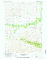
1961 Map of Sussex
USGS Topo · Published 1978About this map
The Powder River meanders through the heart of this landscape, its winding course defining the agricultural and ranching life of Johnson County during the mid-twentieth century. The settlement of Sussex serves as a local hub, supported by the Sussex Sch and a network of named homesteads like the E Meike Ranch, Vest Ranch, and P Meike Ranch. These family ranching operations are clustered near the river and the Irrigation Ditch, illustrating the critical role of water management in the high plains.
Find a feature on this map
43 named features on this map. Tap any name to fly to it.
Don’t see what you’re looking for? This feature index may not catch every label — zoom into the map to look around manually.
Map Details
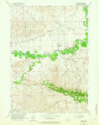
Editions of this 1961 Sussex Map
2 editions found
Other maps of this area

1953 · Fort Reno
USGS Topo · 1:24,000

1954 · House Creek
USGS Topo · 1:24,000

1954 · Linch
USGS Topo · 1:24,000

1955 · Arminto
USGS Topo · 1:250,000

1958 · Arminto
USGS Topo · 1:250,000

1961 · Soldier Creek
USGS Topo · 1:24,000

1961 · Fourmile Reservoir
USGS Topo · 1:24,000

1961 · Figure 8 Reservoir
USGS Topo · 1:24,000

1961 · Dugout Ranch
USGS Topo · 1:24,000

1961 · Dead Woman Crossing
USGS Topo · 1:24,000