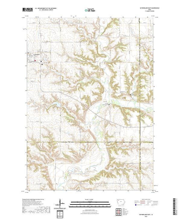
2022 Map of Sutherland East
USGS Topo · Published 2022About this map
Sutherland serves as the primary hub in this corner of northwest Iowa, where the landscape is defined by the winding course of the Little Sioux River and its numerous tributaries. The map details a complex drainage system including Murray Cr, Waterman Cr, and Dog Creek, which carve through the agricultural plateau. For those tracing local history, several burial sites are documented, including Calvary Cem and Waterman Cem just south of the town center. Further southeast, the Hannibal Waterman Cem and the individual Fred Fieldman Grave offer specific points of interest for genealogical research. The survey also captures the intersection of four counties, showing the precise boundaries where O'Brien, Cherokee, Clay, and Buena Vista meet amidst a grid of rural routes like Co Rd B53 and 500th St.
Find a feature on this map
38 named features on this map. Tap any name to fly to it.
Don’t see what you’re looking for? This feature index may not catch every label — zoom into the map to look around manually.
Map Details
Editions of this 2022 Sutherland East Map
This is the sole edition of this map. No revisions or reprints were ever made.
Other maps of this area

1954 · Fairmont
USGS Topo · 1:250,000

1954 · Fort Dodge
USGS Topo · 1:250,000

1957 · Fort Dodge
USGS Topo · 1:250,000

1958 · Fort Dodge
USGS Topo · 1:250,000

1958 · Fairmont
USGS Topo · 1:250,000

1964 · Gaza
USGS Topo · 1:24,000

1970 · Hartley SW
USGS Topo · 1:24,000

1970 · Royal
USGS Topo · 1:24,000

1971 · Peterson SW
USGS Topo · 1:24,000

1971 · Peterson SE
USGS Topo · 1:24,000