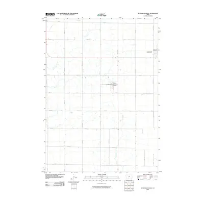
2010 Map of Sutherland West
USGS Topo · Published 2010About this map
Sutherland and Calumet anchor this portion of O'Brien County, appearing here as they stood in the early 21st century. The landscape is defined by the rigid precision of the Jeffersonian grid, with numbered thoroughfares like 450th St and alphabetically named avenues such as Sorrel Ave and Taft Ave partitioning the fertile agricultural land. This map provides a clear look at the local infrastructure, including the Sutherland Post Office and the Calumet Post Office, which remain central to these rural communities.
Find a feature on this map
32 named features on this map. Tap any name to fly to it.
Don’t see what you’re looking for? This feature index may not catch every label — zoom into the map to look around manually.
Map Details
Editions of this 2010 Sutherland West Map
This is the sole edition of this map. No revisions or reprints were ever made.
Other maps of this area

1954 · Fairmont
USGS Topo · 1:250,000

1954 · Fort Dodge
USGS Topo · 1:250,000

1957 · Fort Dodge
USGS Topo · 1:250,000

1958 · Fort Dodge
USGS Topo · 1:250,000

1958 · Fairmont
USGS Topo · 1:250,000

1964 · Primghar
USGS Topo · 1:24,000

1964 · Gaza
USGS Topo · 1:24,000

1969 · Cleghorn
USGS Topo · 1:24,000

1970 · Hartley SW
USGS Topo · 1:24,000

1971 · Peterson SW
USGS Topo · 1:24,000