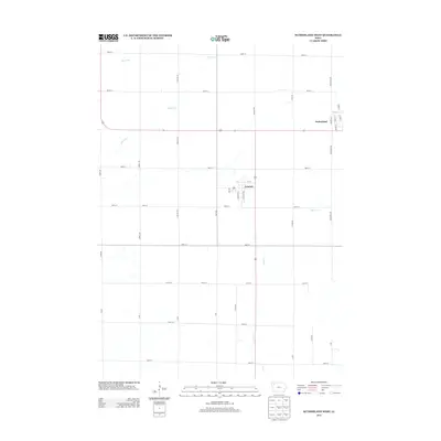
2013 Map of Sutherland West
USGS Topo · Published 2013About this map
The settlement of Sutherland anchors the northeastern corner of this O'Brien County landscape, marking a transition between the town's street grid and the expansive agricultural sections to the west. Further south along the railway corridor, Calumet appears as a compact community defined by a logical grid of avenues and streets, including 3rd Ave and S Railway Ave. The terrain is defined by a series of intermittent and perennial watercourses that break the geometric regularity of the section lines, with Nelson Cr and Dry Run draining the northern reaches.
Find a feature on this map
40 named features on this map. Tap any name to fly to it.
Don’t see what you’re looking for? This feature index may not catch every label — zoom into the map to look around manually.
Map Details
Editions of this 2013 Sutherland West Map
This is the sole edition of this map. No revisions or reprints were ever made.
Other maps of this area

1954 · Fairmont
USGS Topo · 1:250,000

1954 · Fort Dodge
USGS Topo · 1:250,000

1957 · Fort Dodge
USGS Topo · 1:250,000

1958 · Fort Dodge
USGS Topo · 1:250,000

1958 · Fairmont
USGS Topo · 1:250,000

1964 · Primghar
USGS Topo · 1:24,000

1964 · Gaza
USGS Topo · 1:24,000

1969 · Cleghorn
USGS Topo · 1:24,000

1970 · Hartley SW
USGS Topo · 1:24,000

1971 · Peterson SW
USGS Topo · 1:24,000