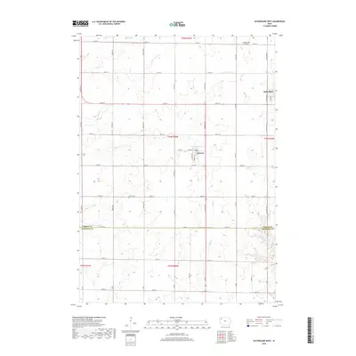
2018 Map of Sutherland West
USGS Topo · Published 2018About this map
Calumet and the western edge of Sutherland anchor this prairie landscape in northwestern Iowa, where the township grid meets the distinct geological rise of the Coteau des Prairies. The topography is defined by the drainage networks of Nelson Cr, Dog Cr, and Grady Cr, which carve shallow valleys through the agricultural sections. This survey provides a precise look at the rural infrastructure of the late 2010s, capturing the density of farmsteads and the strict cardinal orientation of the county road system.
Find a feature on this map
43 named features on this map. Tap any name to fly to it.
Don’t see what you’re looking for? This feature index may not catch every label — zoom into the map to look around manually.
Map Details
Editions of this 2018 Sutherland West Map
This is the sole edition of this map. No revisions or reprints were ever made.
Other maps of this area

1954 · Fairmont
USGS Topo · 1:250,000

1954 · Fort Dodge
USGS Topo · 1:250,000

1957 · Fort Dodge
USGS Topo · 1:250,000

1958 · Fort Dodge
USGS Topo · 1:250,000

1958 · Fairmont
USGS Topo · 1:250,000

1964 · Primghar
USGS Topo · 1:24,000

1964 · Gaza
USGS Topo · 1:24,000

1969 · Cleghorn
USGS Topo · 1:24,000

1970 · Hartley SW
USGS Topo · 1:24,000

1971 · Peterson SW
USGS Topo · 1:24,000