1912 Map of Sutter Buttes
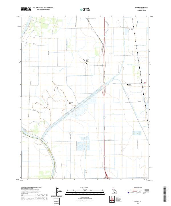
USGS Topo · Published 1943About this map
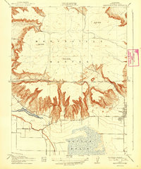
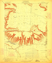
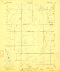
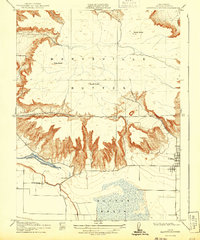
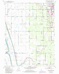
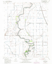
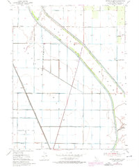
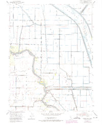
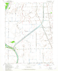
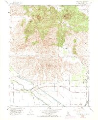
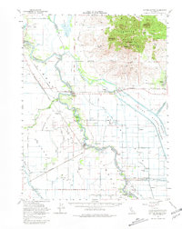
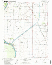
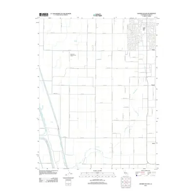
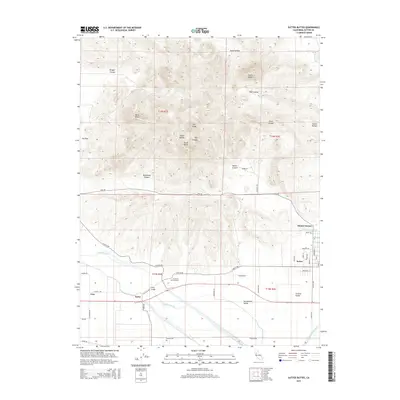
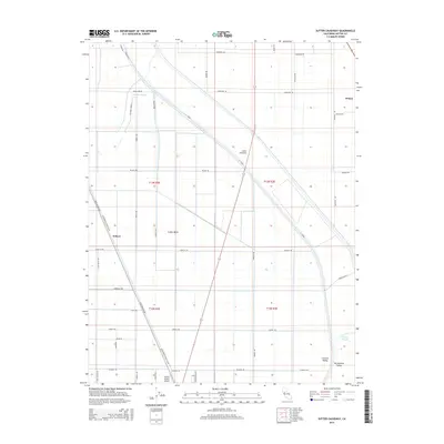
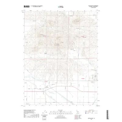
The volcanic peaks of the Marysville Buttes rise dramatically above the Sacramento Valley floor, dominating this survey based on fieldwork from 1909 to 1911. The map illustrates the striking topographic contrast between the steep, serrated ridges of North Butte, West Butte, and South Butte and the surrounding alluvial plains. At the base of these peaks, the settlement of Sutter serves as a primary point of human activity, while the rural education system is represented by the isolated Slough School near the water's edge. The southern portion of the sheet reveals the complex hydrology of the region before modern drainage projects fully altered the landscape. Butte Slough and the expansive Sutter Basin reflect the seasonal inundation patterns common to the era, while the label for Long Bridge indicates a critical crossing point for local transportation across the marshy terrain.
Find a feature on this map
10 named features on this map. Tap any name to fly to it.
Don’t see what you’re looking for? This feature index may not catch every label — zoom into the map to look around manually.
Map Details
Editions of this 1912 Sutter Buttes Map
3 editions found
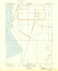
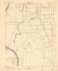
Historical Maps of Dean Place Through Time
38 maps found
1910 Marcuse
Sutter County, CA
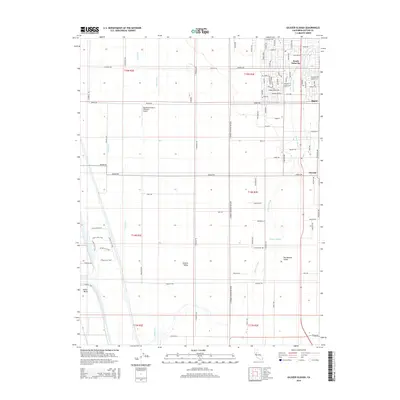
1910 Vernon
Sutter County, CA
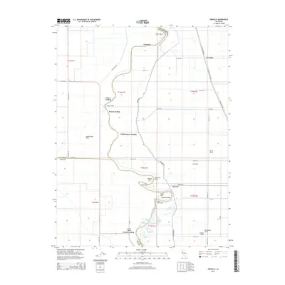
1911 Gilsizer Slough
Sutter County, CA
1912 Marysville Buttes
Sutter County, CA
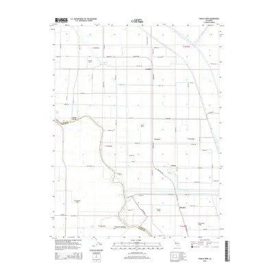
1912 Tisdale Weir
Sutter County, CA
1915 Kirkville
Sutter County, CA
1952 Gilsizer Slough
Sutter County, CA
1952 Kirkville
Sutter County, CA
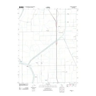
1952 Sutter Causeway
Sutter County, CA
1952 Tisdale Weir
Sutter County, CA
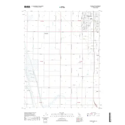
1952 Verona
Sutter County, CA
1954 Sutter Buttes
Sutter County, CA
1954 Sutter Buttes
Sutter County, CA
1967 Verona
Sutter County, CA
2012 Gilsizer Slough
Sutter County, CA

2012 Kirkville
Sutter County, CA
2012 Sutter Buttes
Sutter County, CA
2012 Sutter Causeway
Sutter County, CA
2012 Tisdale Weir
Sutter County, CA
2012 Verona
Sutter County, CA
2015 Gilsizer Slough
Sutter County, CA
2015 Kirkville
Sutter County, CA
2015 Sutter Buttes
Sutter County, CA
2015 Sutter Causeway
Sutter County, CA
2015 Tisdale Weir
Sutter County, CA

2015 Verona
Sutter County, CA
2018 Gilsizer Slough
Sutter County, CA
2018 Kirkville
Sutter County, CA
2018 Sutter Buttes
Sutter County, CA
2018 Sutter Causeway
Sutter County, CA
2018 Tisdale Weir
Sutter County, CA
2018 Verona
Sutter County, CA

2021 Sutter Buttes
Sutter County, CA
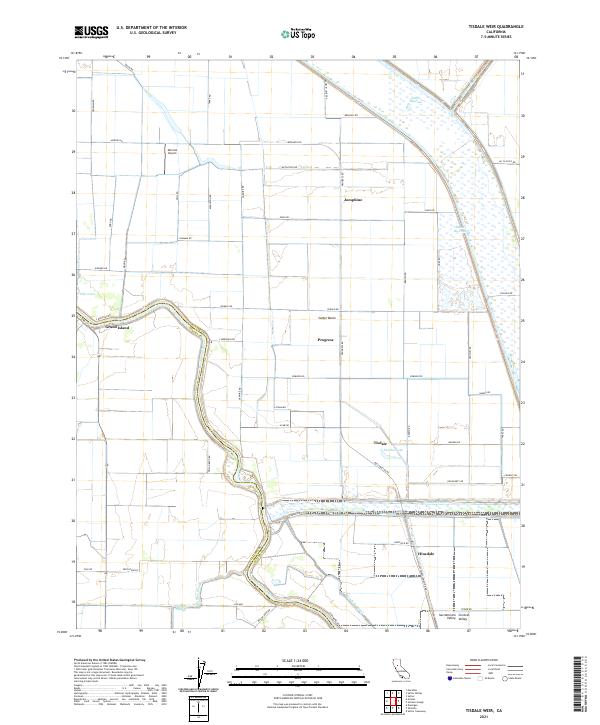
2021 Tisdale Weir
Sutter County, CA
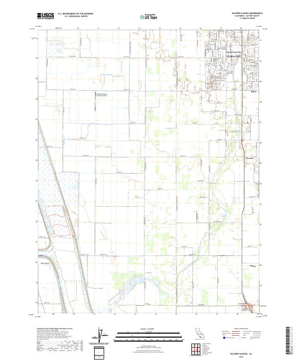
2022 Gilsizer Slough
Sutter County, CA
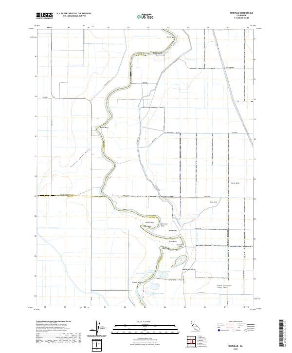
2022 Kirkville
Sutter County, CA
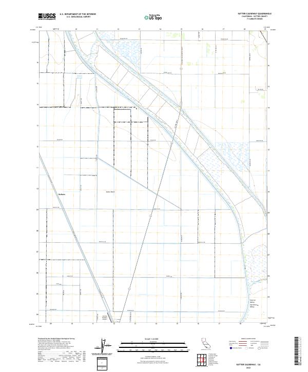
2022 Sutter Causeway
Sutter County, CA
2022 Verona
Sutter County, CA