2019 Map of Sutwik Island A-3 NE
USGS Topo · Published 2019About this map
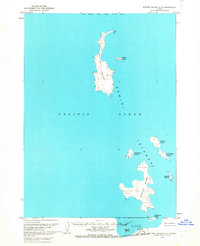
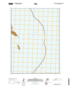
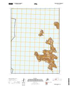
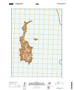
The Pacific Ocean surrounds this isolated section of the Alaska Peninsula coastline, where the land rises sharply into a series of ridges and summits. This 2019 topographic rendering illustrates a landscape dominated by natural contours rather than human settlement, organized by the Public Land Survey System grids of t46s r48w and t47s r48w. The absence of named terrestrial landmarks or roads highlights the remote character of this maritime environment during the early twenty-first century.
Find a feature on this map
4 named features on this map. Tap any name to fly to it.
Don’t see what you’re looking for? This feature index may not catch every label — zoom into the map to look around manually.
Map Details
Editions of this 2019 Sutwik Island A-3 NE Map
This is the sole edition of this map. No revisions or reprints were ever made.