2019 Map of Sutwik Island A-3 OE E SW
USGS Topo · Published 2019About this map
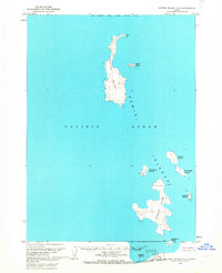
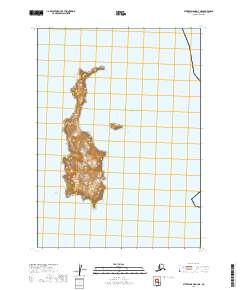
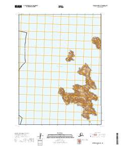
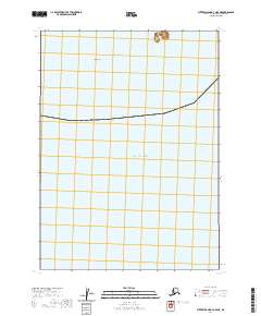
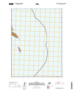
The Pacific Ocean dominates this coastal survey, where the open sea meets the small, unpopulated landmasses of the Kodiak Island Borough. Situated within the townships t47s r47w and t48s r47w, the map illustrates a remote maritime environment defined by small islands and underwater shoals. The scarcity of human infrastructure highlights the isolation of these coastal outposts in the early twenty-first century, where the primary features are defined by maritime boundaries and natural elevation contours rather than settlements or roads.
Find a feature on this map
3 named features on this map. Tap any name to fly to it.
Don’t see what you’re looking for? This feature index may not catch every label — zoom into the map to look around manually.
Map Details
Editions of this 2019 Sutwik Island A-3 OE E SW Map
This is the sole edition of this map. No revisions or reprints were ever made.