2020 Map of Sutwik Island A-3 OE S NE
USGS Topo · Published 2020About this map
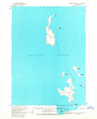
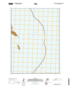
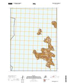
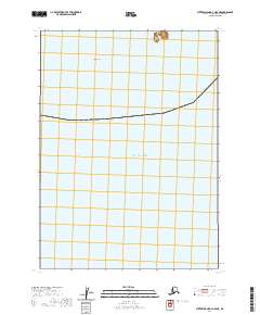
South Island stands as a lonely landform in this remote maritime survey of the Gulf of Alaska. This map documents a small, isolated portion of the Shelikof Strait region, dominated by open water and the rugged coastal outlines of the island chain. The survey reflects the contemporary mapping of the t48s r48w and t48s r47w township and range boundaries across the northern section of the sheet. With minimal terrestrial features, the map emphasizes the maritime expanse and the precise nautical and topographic coordinates required for navigation in these subarctic waters.
Find a feature on this map
4 named features on this map. Tap any name to fly to it.
Don’t see what you’re looking for? This feature index may not catch every label — zoom into the map to look around manually.
Map Details
Editions of this 2020 Sutwik Island A-3 OE S NE Map
This is the sole edition of this map. No revisions or reprints were ever made.