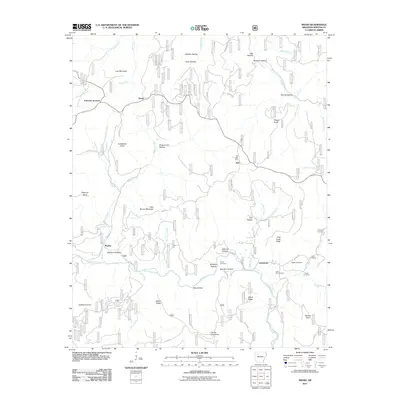
2011 Map of Swain
USGS Topo · Published 2011About this map
Big Piney Creek carves through this portion of the Boston Mountains, defining a landscape of high ridges and deep hollows in the Ozark National Forest region. Small communities and family settlements like Limestone, Swain, and Nail are scattered throughout the terrain, often located near water sources or along winding ridge roads such as Union Grove Rd. The presence of the Nail Post Office and several small rural burial grounds, including Casey Cemetery and Essex Cemetery, suggests the long-standing family lineages that have occupied these narrow valleys.
Find a feature on this map
65 named features on this map. Tap any name to fly to it.
Don’t see what you’re looking for? This feature index may not catch every label — zoom into the map to look around manually.
Map Details
Editions of this 2011 Swain Map
This is the sole edition of this map. No revisions or reprints were ever made.
Other maps of this area

1889 · Treat
USGS Topo · 1:62,500

1889 · Ozone
USGS Topo · 1:62,500

1932 · Treat
USGS Topo · 1:62,500

1933 · Mt Judea
USGS Topo · 1:62,500

1934 · Treat
USGS Topo · 1:62,500

1934 · Ozone
USGS Topo · 1:62,500

1936 · Ozone
USGS Topo · 1:62,500

1940 · Mt Judea
USGS Topo · 1:62,500

1956 · Russellville
USGS Topo · 1:250,000

1964 · Russellville
USGS Topo · 1:250,000