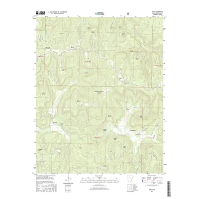
2017 Map of Swain
USGS Topo · Published 2017About this map
Limestone and Swain anchor this survey of the high Ozark backcountry within the Ozark National Forest. The landscape is defined by deeply incised drainages like Big Piney Creek and the headwaters of the Little Buffalo River, creating a network of hollows and ridges that have historically dictated settlement patterns. Local history is preserved in numerous scattered burial grounds, including Union Grove Cem, Hickory Grove Cem, and Lone Hill Cem, which often sit near small communities like Nail and Walnut. The terrain is characterized by prominent high points such as Paxton Knob and Gillian Ridge, while the road network, including the Deer Tower Trail, follows the natural contours of the land. This map illustrates how the geography of Newton County has shaped its isolated settlements and rural cemeteries through the early 21st century.
Find a feature on this map
77 named features on this map. Tap any name to fly to it.
Don’t see what you’re looking for? This feature index may not catch every label — zoom into the map to look around manually.
Map Details
Editions of this 2017 Swain Map
This is the sole edition of this map. No revisions or reprints were ever made.
Other maps of this area

1889 · Treat
USGS Topo · 1:62,500

1889 · Ozone
USGS Topo · 1:62,500

1932 · Treat
USGS Topo · 1:62,500

1933 · Mt Judea
USGS Topo · 1:62,500

1934 · Treat
USGS Topo · 1:62,500

1934 · Ozone
USGS Topo · 1:62,500

1936 · Ozone
USGS Topo · 1:62,500

1940 · Mt Judea
USGS Topo · 1:62,500

1956 · Russellville
USGS Topo · 1:250,000

1964 · Russellville
USGS Topo · 1:250,000