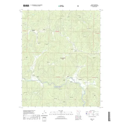
2020 Map of Swain
USGS Topo · Published 2020About this map
Swain and the surrounding high country of the Ozark National Forest define this area of Newton County, where the landscape is marked by deep hollows and prominent ridges. The Big Piney Creek Wild and Scenic River carves a winding path through the southern half of the map, passing below Stone Ridge and Gillian Ridge. Small rural settlements like Limestone, Walnut, and Nail are connected by a network of county roads that navigate the complex topography.
Find a feature on this map
80 named features on this map. Tap any name to fly to it.
Don’t see what you’re looking for? This feature index may not catch every label — zoom into the map to look around manually.
Map Details
Editions of this 2020 Swain Map
This is the sole edition of this map. No revisions or reprints were ever made.
Other maps of this area
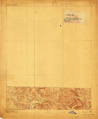
1889 · Treat
USGS Topo · 1:62,500
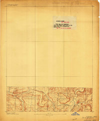
1889 · Ozone
USGS Topo · 1:62,500
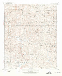
1932 · Treat
USGS Topo · 1:62,500
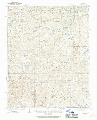
1933 · Mt Judea
USGS Topo · 1:62,500
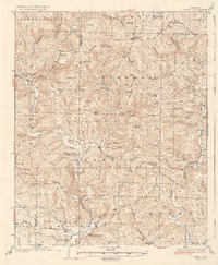
1934 · Treat
USGS Topo · 1:62,500
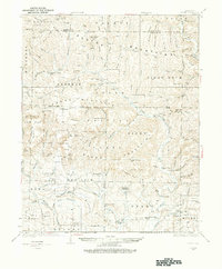
1934 · Ozone
USGS Topo · 1:62,500
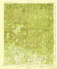
1936 · Ozone
USGS Topo · 1:62,500
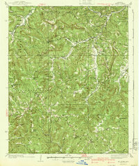
1940 · Mt Judea
USGS Topo · 1:62,500

1956 · Russellville
USGS Topo · 1:250,000
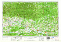
1964 · Russellville
USGS Topo · 1:250,000