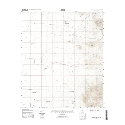
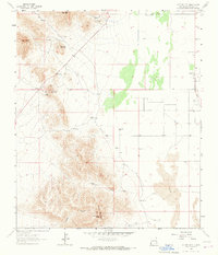
2013 Map of Swallow Fork Peak
USGS Topo · Published 2013About this map
Cotton City sits in the southwestern corner of this survey, anchored by a grid of rural roads including Hot Water Rd and Geothermal Rd. These street names reflect the area's geological activity, evidenced by the Lighting Dock Area KGRA (Known Geothermal Resource Area) to the east. The landscape transitions from the flat plains surrounding Hampton Draw into the sharp relief of the Pyramid Mountains, where peaks like Swallow Fork Peak and Mexican Hat rise above the desert floor.
Find a feature on this map
39 named features on this map. Tap any name to fly to it.
Don’t see what you’re looking for? This feature index may not catch every label — zoom into the map to look around manually.
Map Details
Editions of this 2013 Swallow Fork Peak Map
This is the sole edition of this map. No revisions or reprints were ever made.
Other maps of this area

1954 · Silver City
USGS Topo · 1:250,000

1958 · Silver City
USGS Topo · 1:250,000

1962 · Silver City
USGS Topo · 1:250,000

1963 · Lordsburg
USGS Topo · 1:24,000
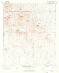
1964 · South Pyramid Peak
USGS Topo · 1:24,000

1964 · Pyramid Peak
USGS Topo · 1:24,000
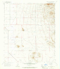
1964 · Table Top Mountain
USGS Topo · 1:24,000
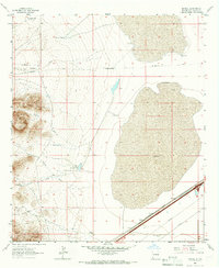
1964 · Mondel
USGS Topo · 1:24,000

1964 · Gary
USGS Topo · 1:24,000
1964 · Cotton City
USGS Topo · 1:24,000