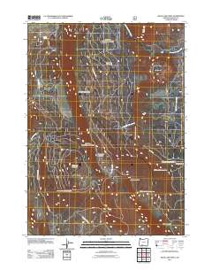
2011 Map of Swan Lake Point
USGS Topo · Published 2011About this map
Swan Lake Mountain and the surrounding high country of Klamath County define this terrain in the southern Oregon interior. The landscape is characterized by prominent volcanic and geological features, including the Ya Whee Plateau and its corresponding Ya Whee Plateau Rim. This high-elevation area serves as a significant drainage divide, where North Fork Trout Creek and South Fork Trout Creek flow eastward toward the Bad Lands. To the south, Edgewood Mountain and Edgewood Creek mark the transition toward the Swan Lake valley. The presence of the Lavenik Cinder Pit indicates the area's geological utility and the network of forest development roads, such as Nat For Dev RD 9718, provides a clear view of the complex transportation routes used for resource management and access throughout the Fremont-Winema region.
Find a feature on this map
17 named features on this map. Tap any name to fly to it.
Don’t see what you’re looking for? This feature index may not catch every label — zoom into the map to look around manually.
Map Details
Editions of this 2011 Swan Lake Point Map
This is the sole edition of this map. No revisions or reprints were ever made.
Other maps of this area

1889 · Klamath
USGS Topo · 1:250,000

1894 · Klamath
USGS Topo · 1:250,000

1955 · Klamath Falls
USGS Topo · 1:250,000

1956 · Calimus Butte
USGS Topo · 1:62,500

1957 · Chiloquin
USGS Topo · 1:62,500

1957 · Swan Lake
USGS Topo · 1:62,500

1957 · Modoc Point
USGS Topo · 1:62,500

1958 · Klamath Falls
USGS Topo · 1:250,000

1980 · Williamson River
USGS Topo · 1:100,000
1985 · Modoc Point
USGS Topo · 1:24,000