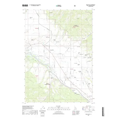
2020 Map of Swan Valley
USGS Topo · Published 2020About this map
The Snake River carves a deep valley through eastern Idaho, creating a dramatic corridor where the Targhee National Forest and Caribou National Forest meet. This 2020 landscape centers on the communities of Swan Valley and Irwin, which sit along the river's fertile banks. The terrain is defined by significant elevation changes, from the broad Pine Creek Bench and Palisades Bench to high landmarks like Ross Peak.
Find a feature on this map
80 named features on this map. Tap any name to fly to it.
Don’t see what you’re looking for? This feature index may not catch every label — zoom into the map to look around manually.
Map Details
Editions of this 2020 Swan Valley Map
This is the sole edition of this map. No revisions or reprints were ever made.
Other maps of this area

1932 · Irwin
USGS Topo · 1:96,000

1935 · Irwin
USGS Topo · 1:125,000

1943 · Driggs
USGS Topo · 1:62,500

1943 · Garns Mtn
USGS Topo · 1:62,500

1946 · Driggs
USGS Topo · 1:62,500

1946 · Garns Mtn
USGS Topo · 1:62,500

1955 · Driggs
USGS Topo · 1:250,000

1958 · Driggs
USGS Topo · 1:250,000

1962 · Driggs
USGS Topo · 1:250,000

1966 · Conant Valley
USGS Topo · 1:24,000