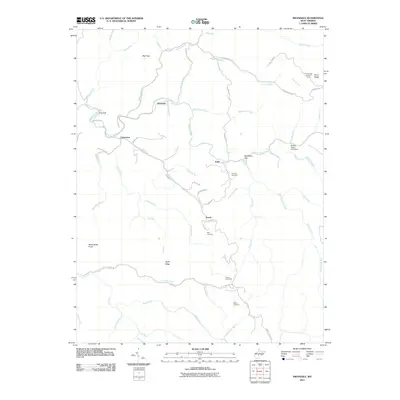
2011 Map of Swandale
USGS Topo · Published 2011About this map
Buffalo Creek winds through a deeply incised landscape in Clay County, serving as the primary corridor for the settlements of Swandale and Cressmont. This 2011 survey documents a region defined by its narrow valley floors and prominent high points such as Big Knob and Wallowhole Knob. The distribution of family-named sites, including the Ramsey Cemetery and Kyle Cemetery, highlights the localized history of the surrounding ridges. Infrastructure for forest or fire management is visible at the Pond Ridge Lookout Tower in the northeast corner, while the Widen-Taylor Fork Dam on Strickland Run indicates modern water management in this tributary-heavy terrain. Transportation is largely confined to ridge-top routes like Dundon-Widen Rd or those following the creek beds, such as Jim Young Fork Rd, reflecting the constraints of the local topography.
Find a feature on this map
68 named features on this map. Tap any name to fly to it.
Don’t see what you’re looking for? This feature index may not catch every label — zoom into the map to look around manually.
Map Details
Editions of this 2011 Swandale Map
This is the sole edition of this map. No revisions or reprints were ever made.
Other maps of this area

1889 · Nicholas
USGS Topo · 1:125,000

1891 · Nicholas
USGS Topo · 1:125,000

1893 · Sutton
USGS Topo · 1:125,000

1897 · Kanawha Falls
USGS Topo · 1:125,000

1900 · Kanawha Falls
USGS Topo · 1:125,000

1901 · Nicholas
USGS Topo · 1:125,000

1901 · Kanawha Falls
USGS Topo · 1:125,000

1906 · Otter
USGS Topo · 1:62,500

1907 · Otter
USGS Topo · 1:62,500

1908 · Clay
USGS Topo · 1:48,000