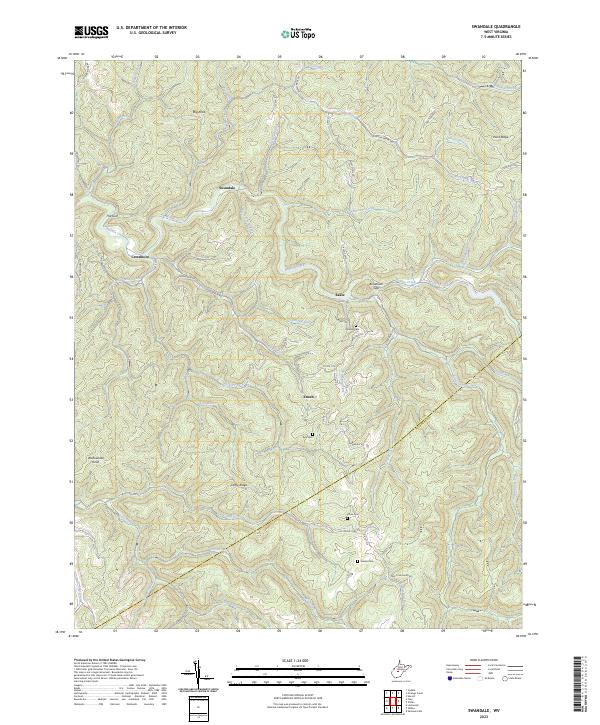
2023 Map of Swandale
USGS Topo · Published 2023About this map
Swandale and Cressmont sit within a highly dissected landscape in Clay County, where the terrain is defined by narrow ridges and deep hollows. The settlement pattern follows the drainage of Buffalo Creek and its many tributaries, such as Wallowhole Fork and Sugarcamp Run. Significant topographic landmarks like Big Knob and Wallowhole Knob rise above the drainage basins, while Duffy Ridge and Widen Ridge provide the primary high-ground corridors for travel. This map records several family or community burial grounds including Ramsey Cem, Kyle Cem, and Acree Cem, which are often situated on hillsides near the small communities of Enoch and Eakle. The boundary between Clay and Nicholas counties crosses the southeastern portion of the map, cutting through the headwaters of Jim Young Fork and Lilly Fork.
Find a feature on this map
72 named features on this map. Tap any name to fly to it.
Don’t see what you’re looking for? This feature index may not catch every label — zoom into the map to look around manually.
Map Details
Editions of this 2023 Swandale Map
This is the sole edition of this map. No revisions or reprints were ever made.
Other maps of this area

1889 · Nicholas
USGS Topo · 1:125,000

1891 · Nicholas
USGS Topo · 1:125,000

1893 · Sutton
USGS Topo · 1:125,000

1897 · Kanawha Falls
USGS Topo · 1:125,000

1900 · Kanawha Falls
USGS Topo · 1:125,000

1901 · Nicholas
USGS Topo · 1:125,000

1901 · Kanawha Falls
USGS Topo · 1:125,000

1906 · Otter
USGS Topo · 1:62,500

1907 · Otter
USGS Topo · 1:62,500

1908 · Clay
USGS Topo · 1:48,000