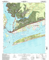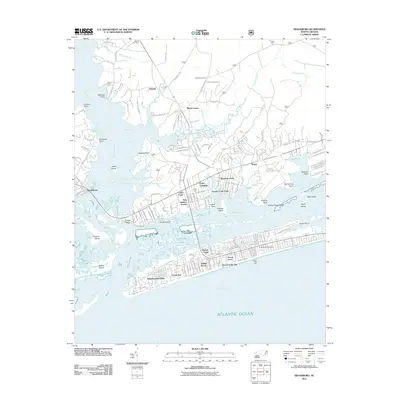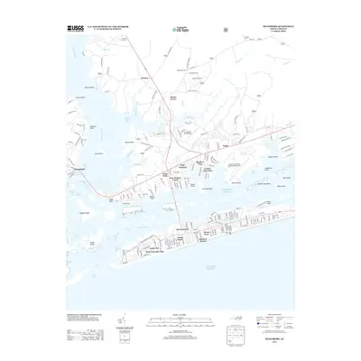
2022 Map of Swansboro
USGS Topo · Published 2022About this map
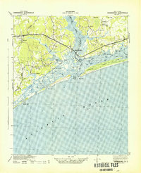
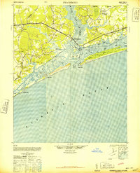
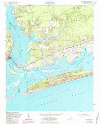
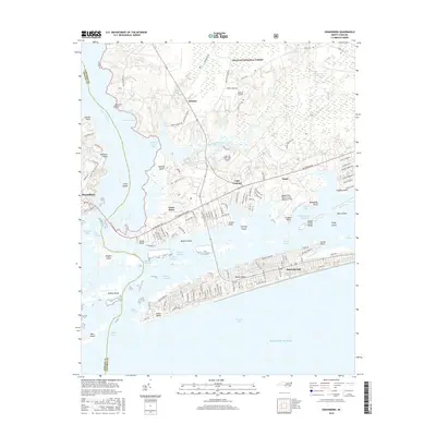
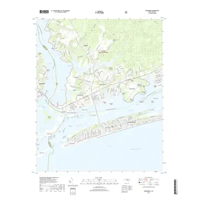
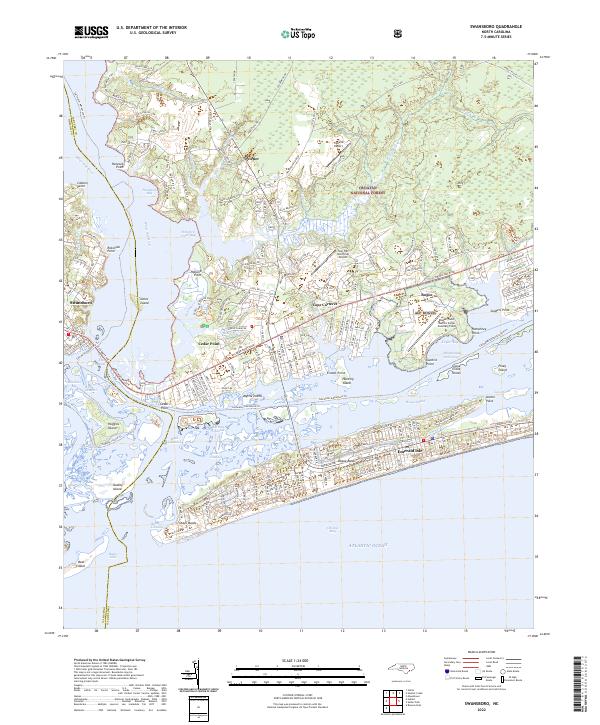
Croatan National Forest dominates the northern reaches of this coastal landscape, where dense forest tracks meet the intricate waterways of the North Carolina shore. The White Oak River serves as a prominent natural boundary, separating Swansboro from the neighboring peninsula of Cedar Point. This map captures a complex maritime geography defined by the Intracoastal Waterway and the broad expanse of Bogue Sound, which buffers the barrier island communities of Emerald Isle from the mainland. The presence of Bogue Field Marine Corps Auxiliary Field and local airstrips like Triple M Airport indicates the region's strategic and recreational aviation importance. From the residential developments of Cape Carteret to the protected wildness of Bear Island and Huggins Island, the map illustrates a modern coastal economy balanced between military utility, residential growth, and environmental preservation within the national forest system.
Find a feature on this map
187 named features on this map. Tap any name to fly to it.
Don’t see what you’re looking for? This feature index may not catch every label — zoom into the map to look around manually.
Map Details
Editions of this 2022 Swansboro Map
This is the sole edition of this map. No revisions or reprints were ever made.
Historical Maps of Emerald Isle Through Time
9 maps found