
1952 Map of Hubert
USGS Topo · Published 1954About this map
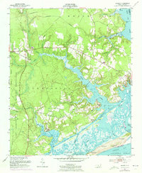
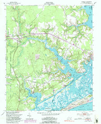
Camp Lejeune Military Reservation dominates the western portion of this coastal landscape, illustrating the mid-century intersection of military expansion and rural North Carolina life. The intricate network of tidal estuaries and sounds, including Queen Creek and the White Oak River, defines the region's character as a maritime frontier. Small settlements like Hubert and Starling are shown just inland from the marshes, connected by early roads to the historic waterfront at Swansboro.
Find a feature on this map
33 named features on this map. Tap any name to fly to it.
Don’t see what you’re looking for? This feature index may not catch every label — zoom into the map to look around manually.
Map Details
Editions of this 1952 Hubert Map
3 editions found
Other maps of this area

1942 · Maysville
USGS Topo · 1:62,500

1942 · Swansboro
USGS Topo · 1:62,500

1943 · Jacksonville
USGS Topo · 1:62,500

1948 · Maysville
USGS Topo · 1:62,500

1948 · Swansboro
USGS Topo · 1:62,500

1948 · New River
USGS Topo · 1:62,500

1952 · Camp Lejeune
USGS Topo · 1:24,000

1952 · Swansboro
USGS Topo · 1:24,000

1952 · Browns Inlet
USGS Topo · 1:24,000

1952 · New River Inlet
USGS Topo · 1:24,000