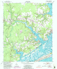
1952 Map of Hubert
USGS Topo · Published 1992About this map
Coastal North Carolina's complex shoreline defines this topographic study, where the White Oak River meets the sound. The landscape is dominated by the Camp Lejeune Military Reservation to the west and the barrier islands of Hammocks Beach State Park to the south. Between these protected areas lie the established settlements of Hubert and Swansboro, connected by a network of tidal creeks and marshes.
Find a feature on this map
40 named features on this map. Tap any name to fly to it.
Don’t see what you’re looking for? This feature index may not catch every label — zoom into the map to look around manually.
Map Details
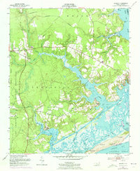
Editions of this 1952 Hubert Map
3 editions found
Other maps of this area

1942 · Maysville
USGS Topo · 1:62,500

1942 · Swansboro
USGS Topo · 1:62,500

1943 · Jacksonville
USGS Topo · 1:62,500

1948 · Maysville
USGS Topo · 1:62,500

1948 · Swansboro
USGS Topo · 1:62,500

1948 · New River
USGS Topo · 1:62,500

1952 · Hubert
USGS Topo · 1:24,000

1952 · Camp Lejeune
USGS Topo · 1:24,000

1952 · Swansboro
USGS Topo · 1:24,000

1952 · Browns Inlet
USGS Topo · 1:24,000