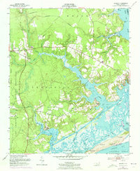
1952 Map of Hubert
USGS Topo · Published 1973About this map
The Camp Lejeune Military Reservation dominates the southwestern portion of this coastal landscape, showing a network of firebreaks and the specialized U S Government R R corridor. This mid-century survey captures the intricate interface where the White Oak River meets Onslow Bay, a region defined by complex tidal creeks like Queen Creek and Bear Creek. Settlement patterns are concentrated near the water at Swansboro and the smaller inland community of Hubert.
Find a feature on this map
40 named features on this map. Tap any name to fly to it.
Don’t see what you’re looking for? This feature index may not catch every label — zoom into the map to look around manually.
Map Details
Editions of this 1952 Hubert Map
3 editions found
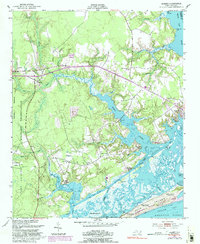
Other maps of this area

1942 · Maysville
USGS Topo · 1:62,500

1942 · Swansboro
USGS Topo · 1:62,500

1943 · Jacksonville
USGS Topo · 1:62,500

1948 · Maysville
USGS Topo · 1:62,500

1948 · Swansboro
USGS Topo · 1:62,500

1948 · New River
USGS Topo · 1:62,500

1952 · Hubert
USGS Topo · 1:24,000

1952 · Camp Lejeune
USGS Topo · 1:24,000

1952 · Swansboro
USGS Topo · 1:24,000

1952 · Browns Inlet
USGS Topo · 1:24,000