
1952 Map of Browns Inlet
USGS Topo · Published 1955About this map
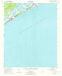
The Camp Lejeune Military Reservation dominates this coastal landscape in the early 1950s, showcasing a network of tidal marshlands and strategic waterways along the North Carolina coast. The Intracoastal Waterway cuts through the sound, providing a critical navigation route sheltered from the open Atlantic Ocean. Natural inlets such as Browns Inlet and Bear Inlet connect the sound to Onslow Bay, where shifting sand dunes and deep channels like Shackelfoot Channel define the maritime environment. The area is characterized by low-lying islands, including Saunders Island, and a complex system of creeks like Freeman Cr and Bear Creek. Military infrastructure is noted by several navigation aids, including a Tower and Light, which served the amphibious training grounds and coastal defense during this post-war era.
Find a feature on this map
21 named features on this map. Tap any name to fly to it.
Don’t see what you’re looking for? This feature index may not catch every label — zoom into the map to look around manually.
Map Details
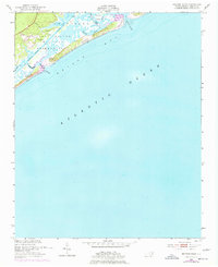
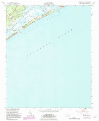
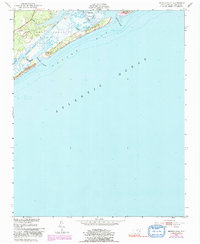
Editions of this 1952 Browns Inlet Map
5 editions found
Other maps of this area

1942 · Spicer Bay
USGS Topo · 1:62,500

1942 · Swansboro
USGS Topo · 1:62,500

1948 · Swansboro
USGS Topo · 1:62,500

1948 · New River
USGS Topo · 1:62,500

1952 · Hubert
USGS Topo · 1:24,000

1952 · Camp Lejeune
USGS Topo · 1:24,000

1952 · Swansboro
USGS Topo · 1:24,000

1952 · New River Inlet
USGS Topo · 1:24,000

1953 · Beaufort
USGS Topo · 1:250,000

1954 · Beaufort
USGS Topo · 1:250,000