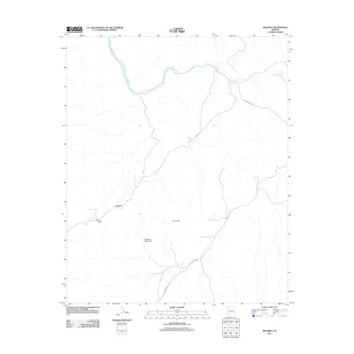
2011 Map of Swansea
USGS Topo · Published 2011About this map
Swansea stands as a focal point in this 2011 survey, situated within the arid landscape of the Buckskin Mountains. The settlement's isolation is underscored by the network of unpaved access routes like Swansea Rd and Lincoln Ranch Rd that traverse the desert floor. The topography is defined by prominent landmarks such as Clara Peak and the distinctive Miners Arch, hinting at the mineral-rich history of the region. To the north, the Bill Williams River cuts through the terrain, providing a primary hydrological feature in an otherwise dry environment. The presence of several ranch roads, including Johnson Ranch Rd, suggests a landscape still utilized for cattle grazing and land management well into the early 21st century.
Find a feature on this map
9 named features on this map. Tap any name to fly to it.
Don’t see what you’re looking for? This feature index may not catch every label — zoom into the map to look around manually.
Map Details
Editions of this 2011 Swansea Map
This is the sole edition of this map. No revisions or reprints were ever made.
Other maps of this area

1923 · Signal
USGS Topo · 1:250,000

1942 · Signal
USGS Topo · 1:250,000

1950 · Prescott
USGS Topo · 1:250,000

1954 · Prescott
USGS Topo · 1:250,000

1958 · Prescott
USGS Topo · 1:250,000

1959 · Prescott
USGS Topo · 1:250,000

1960 · Prescott
USGS Topo · 1:250,000

1965 · Prescott
USGS Topo · 1:250,000
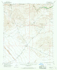
1966 · Swansea
USGS Topo · 1:62,500

1966 · Ives Peak
USGS Topo · 1:62,500