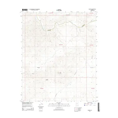
2014 Map of Swansea
USGS Topo · Published 2014About this map
Swansea sits within a complex geological landscape defined by the Bill Williams River, which carves a path between the Rawhide Mountains to the north and the Buckskin Mountains to the south. This 2014 survey documents the remote transition zone between Mohave and La Paz counties, characterized by sharp elevation changes and distinctive landforms like Clara Peak and Miners Arch. The region is accessible via primitive routes such as Lincoln Ranch Rd and Johnson Ranch Rd, which navigate the desert terrain far from major urban centers. The settlement of Swansea itself is a focal point of historical interest, serving as a reminder of the region's mining heritage in the rugged interior of the Arizona desert. The map provides a precise look at the township and range system (T11N, T10N, T9N) that governs this isolated reach of the American Southwest.
Find a feature on this map
15 named features on this map. Tap any name to fly to it.
Don’t see what you’re looking for? This feature index may not catch every label — zoom into the map to look around manually.
Map Details
Editions of this 2014 Swansea Map
This is the sole edition of this map. No revisions or reprints were ever made.
Other maps of this area

1923 · Signal
USGS Topo · 1:250,000

1942 · Signal
USGS Topo · 1:250,000

1950 · Prescott
USGS Topo · 1:250,000

1954 · Prescott
USGS Topo · 1:250,000

1958 · Prescott
USGS Topo · 1:250,000

1959 · Prescott
USGS Topo · 1:250,000

1960 · Prescott
USGS Topo · 1:250,000

1965 · Prescott
USGS Topo · 1:250,000
1966 · Swansea
USGS Topo · 1:62,500

1966 · Ives Peak
USGS Topo · 1:62,500