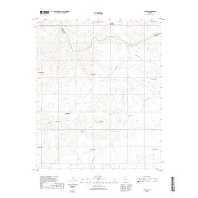
2018 Map of Swansea
USGS Topo · Published 2018About this map
Swansea stands as a focal point in this desert landscape, situated between the Rawhide Mountains to the north and the Buckskin Mountains to the south. The area is defined by its mining heritage, evidenced by the presence of Miners Arch near the townsite. The Bill Williams River meanders along the northern boundary, following the dividing line between Mohave and La Paz counties. This river corridor provides a stark contrast to the surrounding arid terrain, marked by notable heights like Clara Peak. Connectivity across this high-relief environment is maintained through a network of unpaved routes, including Swansea Rd, Johnson Ranch Rd, and Lincoln Ranch Rd, which trace the valleys and ridges of this western Arizona mining district.
Find a feature on this map
10 named features on this map. Tap any name to fly to it.
Don’t see what you’re looking for? This feature index may not catch every label — zoom into the map to look around manually.
Map Details
Editions of this 2018 Swansea Map
This is the sole edition of this map. No revisions or reprints were ever made.
Other maps of this area

1923 · Signal
USGS Topo · 1:250,000

1942 · Signal
USGS Topo · 1:250,000

1950 · Prescott
USGS Topo · 1:250,000

1954 · Prescott
USGS Topo · 1:250,000

1958 · Prescott
USGS Topo · 1:250,000

1959 · Prescott
USGS Topo · 1:250,000

1960 · Prescott
USGS Topo · 1:250,000

1965 · Prescott
USGS Topo · 1:250,000
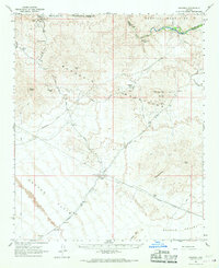
1966 · Swansea
USGS Topo · 1:62,500

1966 · Ives Peak
USGS Topo · 1:62,500