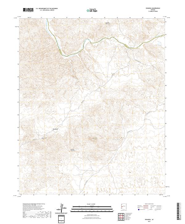
2021 Map of Swansea
USGS Topo · Published 2021About this map
Swansea sits at the heart of this landscape, an area defined by the high desert peaks and the winding course of the Bill Williams River. The topography transitions sharply from the Rawhide Mountains in the north toward the Buckskin Mountains in the south, marked by distinctive landforms such as Miners Arch and Clara Peak. This region, split by the boundary of Mohave County and La Paz County, reflects a history shaped by remote access and mineral exploration. The road network, including Swansea Rd and Lincoln Ranch Rd, provides the primary lifelines through the desert, tracing the paths that historically connected this isolated mining settlement to the broader ranching and transit corridors of western Arizona.
Find a feature on this map
19 named features on this map. Tap any name to fly to it.
Don’t see what you’re looking for? This feature index may not catch every label — zoom into the map to look around manually.
Map Details
Editions of this 2021 Swansea Map
This is the sole edition of this map. No revisions or reprints were ever made.
Other maps of this area

1923 · Signal
USGS Topo · 1:250,000

1942 · Signal
USGS Topo · 1:250,000

1950 · Prescott
USGS Topo · 1:250,000

1954 · Prescott
USGS Topo · 1:250,000

1958 · Prescott
USGS Topo · 1:250,000

1959 · Prescott
USGS Topo · 1:250,000

1960 · Prescott
USGS Topo · 1:250,000

1965 · Prescott
USGS Topo · 1:250,000
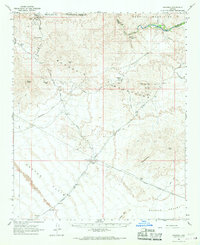
1966 · Swansea
USGS Topo · 1:62,500

1966 · Ives Peak
USGS Topo · 1:62,500