Loading...
Loading map...2024 Map of Swartz
USGS Topo · Published 2024About this map
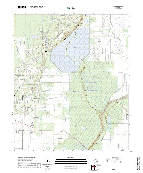
Wham Brake and the surrounding wetlands dominate this northeastern Louisiana landscape, where the borders of Ouachita, Morehouse, and Richland parishes converge. The community of Swartz serves as the primary residential hub, connected by a dense grid of local roads like Swartz Fairbanks Rd and Scenic Dr. The area's agricultural and drainage history is etched into the land through features like Sawyer Ditch and the winding course of Bayou Lafourche.
Find a feature on this map
86 named features on this map. Tap any name to fly to it.
Don’t see what you’re looking for? This feature index may not catch every label — zoom into the map to look around manually.
Map Details
Date Portrayed2024
Date Published2024
PublisherU.S. Geological Survey
Map TypeTopographic
Scale1:24000
Physical Dimensions24 x 29 inches
Editions of this 2024 Swartz Map
This is the sole edition of this map. No revisions or reprints were ever made.
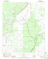
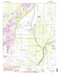
Historical Maps of County Acres Through Time
3 maps found
Featured Locations
Source Details
SourceU.S. Geological Survey
CopyrightPublic Domain