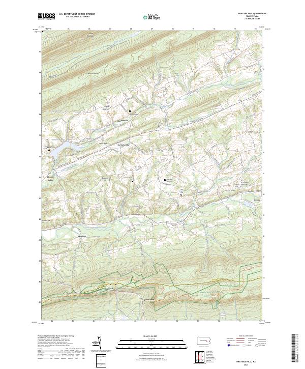
2023 Map of Swatara Hill
USGS Topo · Published 2023About this map
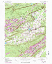
Blue Mountain and Sharp Mountain define the high ridges of this central Pennsylvania landscape, where the headwaters of the Little Swatara Creek system carve out fertile valleys. Several small settlements, including Roedersville and De Turksville, are connected by a network of rural roads that skirt the base of Stone Ridge. The area is notably dense with small country cemeteries and religious sites, such as the Strubhar German Baptist Cem and Roedersville Mennonite Cem, reflecting the deep-seated heritage of German Baptist and Mennonite communities in Schuylkill Co.
Find a feature on this map
54 named features on this map. Tap any name to fly to it.
Don’t see what you’re looking for? This feature index may not catch every label — zoom into the map to look around manually.
Map Details
Editions of this 2023 Swatara Hill Map
This is the sole edition of this map. No revisions or reprints were ever made.
Historical Maps of Stanhope Through Time
14 maps found

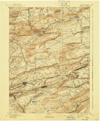
1892 Mahanoy
Schuylkill County, PA
1893 Mahanoy
Schuylkill County, PA
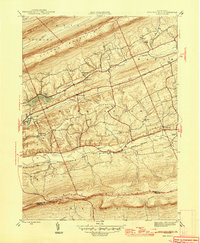
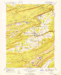
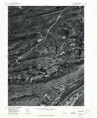
1946 Swatara Hill
Schuylkill County, PA
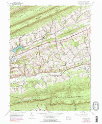
1947 Valley View
Schuylkill County, PA
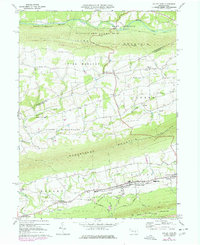
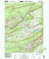
1949 Delano
Schuylkill County, PA
1954 Delano
Schuylkill County, PA

1955 Mahanoy
Schuylkill County, PA
1955 Swatara Hill
Schuylkill County, PA
1969 Valley View
Schuylkill County, PA
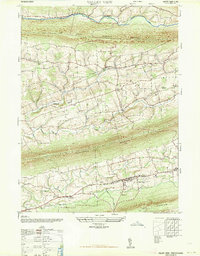
1976 Delano
Schuylkill County, PA
1999 Delano
Schuylkill County, PA
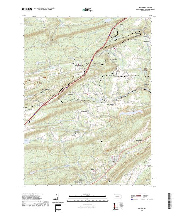
2023 Delano
Schuylkill County, PA
2023 Swatara Hill
Schuylkill County, PA
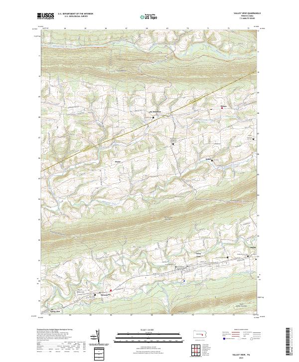
2023 Valley View
Schuylkill County, PA
Featured Locations
- Bethel Township, PA
- Washington Township, PA
- Reilly Township, PA
- Wayne Township, PA
- Moyers, Wayne Township