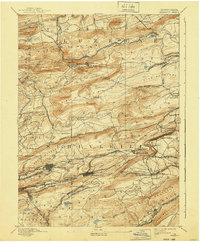
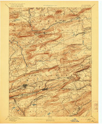
1893 Map of Mahanoy
USGS Topo · Published 1940About this map
Industrial expansion and rail infrastructure dominate this anthracite region landscape, where the Philadelphia and Reading Railroad and Lehigh Valley Railroad compete for access to the coal fields. The terrain is defined by parallel ridges like McAuley Mountain and Spring Mountain, forcing a dense network of junctions and branches. Small company towns and junctions such as Delano Junction and Silver Brook Junction serve as the primary nodes of human activity between the ridges.
Find a feature on this map
98 named features on this map. Tap any name to fly to it.
Don’t see what you’re looking for? This feature index may not catch every label — zoom into the map to look around manually.
Map Details
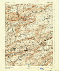
Editions of this 1893 Mahanoy Map
7 editions found

Other maps of this area

1889 · Catawissa
USGS Topo · 1:62,500

1889 · Hazleton
USGS Topo · 1:62,500

1889 · Pottsville
USGS Topo · 1:62,500

1891 · Wilkesbarre
USGS Topo · 1:62,500

1891 · Hazleton
USGS Topo · 1:62,500

1891 · Pottsville
USGS Topo · 1:62,500

1892 · Catawissa
USGS Topo · 1:62,500

1892 · Mahanoy
USGS Topo · 1:62,500

1892 · Pine Grove
USGS Topo · 1:62,500

1893 · Hazleton
USGS Topo · 1:62,500