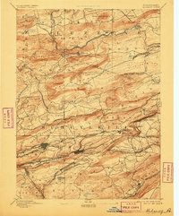
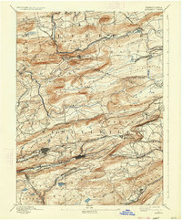
1893 Map of Mahanoy
USGS Topo · Published 1906About this map
Shenandoah and Mahanoy City anchor the southern valleys of this late 19th-century survey, revealing a landscape deeply defined by the coal industry and its complex transportation networks. The terrain is a series of prominent ridges, including Mahanoy Mountain and Locust Mountain, where the infrastructure of the Philadelphia and Reading Railroad and the Lehigh Valley Railroad weave through narrow gaps and along steep slopes. These lines connected isolated coal patches and industrial settlements like Delano and New Boston to broader markets.
Find a feature on this map
109 named features on this map. Tap any name to fly to it.
Don’t see what you’re looking for? This feature index may not catch every label — zoom into the map to look around manually.
Map Details
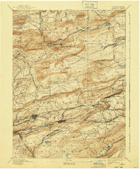
Editions of this 1893 Mahanoy Map
7 editions found

Other maps of this area

1889 · Catawissa
USGS Topo · 1:62,500

1889 · Hazleton
USGS Topo · 1:62,500

1889 · Pottsville
USGS Topo · 1:62,500

1891 · Wilkesbarre
USGS Topo · 1:62,500

1891 · Hazleton
USGS Topo · 1:62,500

1891 · Pottsville
USGS Topo · 1:62,500

1892 · Catawissa
USGS Topo · 1:62,500

1892 · Mahanoy
USGS Topo · 1:62,500

1892 · Pine Grove
USGS Topo · 1:62,500

1893 · Hazleton
USGS Topo · 1:62,500