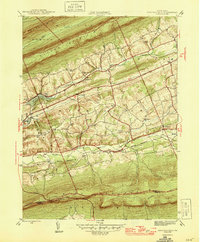
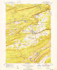
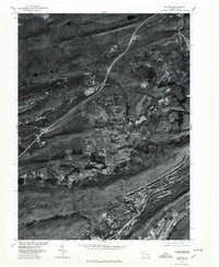
1946 Map of Swatara Hill
USGS Topo · Published 1946This historical map portrays the area of Swatara Hill in 1946, primarily covering Schuylkill County as well as portions of Berks County. Featuring a scale of 1:31680, this map provides a highly detailed snapshot of the terrain, roads, buildings, counties, and historical landmarks in the Swatara Hill region at the time. Published in 1946, it is one of 2 known editions of this map due to revisions or reprints.
Find a feature on this map
34 named features on this map. Tap any name to fly to it.
Don’t see what you’re looking for? This feature index may not catch every label — zoom into the map to look around manually.
Map Details
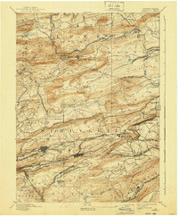
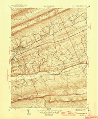
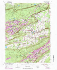
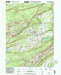
Editions of this 1946 Swatara Hill Map
2 editions found
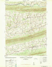
Historical Maps of Pine Grove Township Through Time
11 maps found

1892 Mahanoy
Schuylkill County, PA
1893 Mahanoy
Schuylkill County, PA
1946 Swatara Hill
Schuylkill County, PA
1947 Valley View
Schuylkill County, PA
1949 Delano
Schuylkill County, PA
1954 Delano
Schuylkill County, PA

1955 Mahanoy
Schuylkill County, PA
1955 Swatara Hill
Schuylkill County, PA
1969 Valley View
Schuylkill County, PA
1976 Delano
Schuylkill County, PA
1999 Delano
Schuylkill County, PA
Featured Locations
- Bethel Township, PA
- Tremont Township, PA
- Reilly Township, PA
- Roedersville, Washington Township
- Pleasant Valley, Pine Grove Township