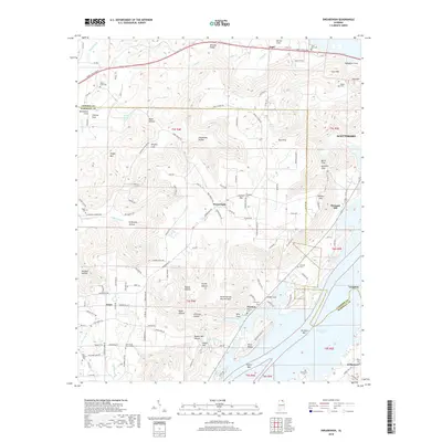
2018 Map of Swearengin
USGS Topo · Published 2018About this map
Cathedral Caverns and the surrounding limestone topography dominate this portion of Jackson and Marshall counties. The landscape is defined by deep incisions like Kennamer Cove, Thomas Cove, and Stillhouse Hollow, revealing a complex karst environment where water travels through features like Barkley Spring and Shell Spring. The 2018 survey shows a rural settlement pattern anchored by small communities such as Swearengin, Grant, and Preston.
Find a feature on this map
147 named features on this map. Tap any name to fly to it.
Don’t see what you’re looking for? This feature index may not catch every label — zoom into the map to look around manually.
Map Details
Editions of this 2018 Swearengin Map
This is the sole edition of this map. No revisions or reprints were ever made.
Other maps of this area

1885 · Gadsden
USGS Topo · 1:125,000

1888 · Gadsden
USGS Topo · 1:125,000

1888 · Scottsboro
USGS Topo · 1:125,000

1892 · Scottsboro
USGS Topo · 1:125,000

1892 · Gadsden
USGS Topo · 1:125,000

1895 · Gadsden
USGS Topo · 1:125,000

1903 · Gadsden
USGS Topo · 1:125,000
1936 · Scottsboro
USGS Topo · 1:24,000
1936 · Columbus City
USGS Topo · 1:24,000
1936 · Langston
USGS Topo · 1:24,000