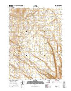
2017 Map of Swede Knoll
USGS Topo · Published 2017About this map
Swede Knoll rises above a high desert landscape characterized by seasonal hydrology and significant topographic relief in this 2017 survey of Lake County. The drainage patterns of the region are defined by Robinson Draw and the intermittent flow of Deer Cr, which move across a series of township and range sections including t36s r27e and t35s r26e. The area is dotted with several localized basins, most notably Fitzgerald Lake, Twin Lakes, and Link Lake, which serve as critical landmarks in this otherwise sparsely developed territory. This map documents the natural hydrology before any modern diversion, capturing the relationship between the elevated knolls and the low-lying lake beds like Desert Lake and Thunderbird Lake at the southern edge of the quadrangle.
Find a feature on this map
14 named features on this map. Tap any name to fly to it.
Don’t see what you’re looking for? This feature index may not catch every label — zoom into the map to look around manually.
Map Details
Editions of this 2017 Swede Knoll Map
This is the sole edition of this map. No revisions or reprints were ever made.
Other maps of this area

1955 · Adel
USGS Topo · 1:250,000

1957 · Adel
USGS Topo · 1:250,000

1958 · Adel
USGS Topo · 1:250,000

1962 · Adel
USGS Topo · 1:250,000

1967 · Jacobs Reservoir
USGS Topo · 1:24,000

1967 · Campbell Lake
USGS Topo · 1:24,000

1967 · Flook Lake
USGS Topo · 1:24,000

1967 · Alger Lake
USGS Topo · 1:24,000

1967 · Warner Peak
USGS Topo · 1:24,000

1967 · Swede Knoll
USGS Topo · 1:24,000