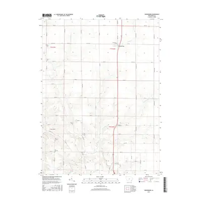
2015 Map of Swedesburg
USGS Topo · Published 2015About this map
Swedesburg serves as the primary settlement hub in this portion of Henry County, situated at the junction of James Ave and Co Hwy H18. The landscape is defined by a dense concentration of historical burial grounds, indicating a long-established rural community structure. Genealogists can trace local heritage through several sites, including the Old Finley Cem and Finley Cem in the northwest, and the New Richwoods Cem and Old Richwoods Cem toward the south.
Find a feature on this map
44 named features on this map. Tap any name to fly to it.
Don’t see what you’re looking for? This feature index may not catch every label — zoom into the map to look around manually.
Map Details
Editions of this 2015 Swedesburg Map
This is the sole edition of this map. No revisions or reprints were ever made.
Other maps of this area

1958 · Burlington
USGS Topo · 1:250,000

1958 · Davenport
USGS Topo · 1:250,000

1961 · Burlington
USGS Topo · 1:250,000

1961 · Davenport
USGS Topo · 1:250,000

1962 · Davenport
USGS Topo · 1:250,000

1963 · Burlington
USGS Topo · 1:250,000

1980 · Trenton
USGS Topo · 1:24,000

1980 · Wayland
USGS Topo · 1:24,000

1980 · Lockridge East
USGS Topo · 1:24,000

1981 · Mount Pleasant
USGS Topo · 1:24,000