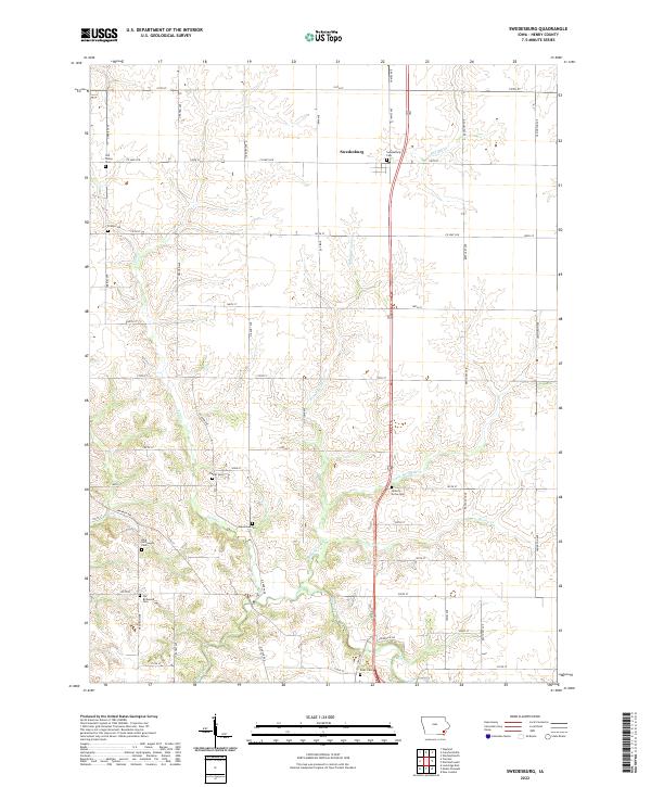
2022 Map of Swedesburg
USGS Topo · Published 2022About this map
Swedesburg serves as the primary anchor for this Henry County landscape, where the agricultural grid of southeast Iowa is broken by a network of winding waterways. The drainage pattern is defined by Big Creek and its many tributaries, including Brandywine Cr, Spring Cr, and Little Potomac Cr, which carve through the till plains to create distinct topographic relief. This modern topographic record is particularly valuable for genealogists due to the high density of preserved burial sites scattered across the rural townships. From the Old Finley Cem in the northwest to the Scott Cem in the south, these cemeteries often mark the locations of early pioneer settlements and church sites. The map documents the enduring rural road network, with family-named corridors like Graham Ave and Hickory Ave connecting the farmsteads that have sustained this region for generations.
Find a feature on this map
46 named features on this map. Tap any name to fly to it.
Don’t see what you’re looking for? This feature index may not catch every label — zoom into the map to look around manually.
Map Details
Editions of this 2022 Swedesburg Map
This is the sole edition of this map. No revisions or reprints were ever made.
Other maps of this area

1958 · Burlington
USGS Topo · 1:250,000

1958 · Davenport
USGS Topo · 1:250,000

1961 · Burlington
USGS Topo · 1:250,000

1961 · Davenport
USGS Topo · 1:250,000

1962 · Davenport
USGS Topo · 1:250,000

1963 · Burlington
USGS Topo · 1:250,000

1980 · Trenton
USGS Topo · 1:24,000

1980 · Wayland
USGS Topo · 1:24,000

1980 · Lockridge East
USGS Topo · 1:24,000

1981 · Mount Pleasant
USGS Topo · 1:24,000