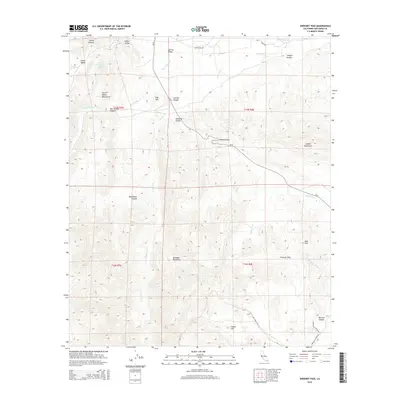
2015 Map of Sweeney Pass
USGS Topo · Published 2015About this map
Sweeney Pass serves as a focal point for this desert landscape, where the Jacumba Mountains and Coyote Mountains converge. The topography is defined by significant elevation changes, with the Tierra Blanca Mountains rising to the west and the Volcanic Hills marking the southeastern reach. Water, though scarce, is traced through named ephemeral features like Bow Willow Cr and Carrizo Cr, while Mountain Palm Springs hints at localized oases in the Indian Valley.
Find a feature on this map
31 named features on this map. Tap any name to fly to it.
Don’t see what you’re looking for? This feature index may not catch every label — zoom into the map to look around manually.
Map Details
Editions of this 2015 Sweeney Pass Map
This is the sole edition of this map. No revisions or reprints were ever made.
Other maps of this area

1931 · Carrizo
USGS Topo · 1:125,000

1939 · Campo
USGS Topo · 1:62,500

1939 · Jacumba
USGS Topo · 1:62,500

1942 · Campo
USGS Topo · 1:62,500

1942 · Carrizo Mtn
USGS Topo · 1:62,500

1942 · Jacumba
USGS Topo · 1:62,500

1942 · Cuyapaipe
USGS Topo · 1:62,500

1950 · San Diego
USGS Topo · 1:250,000

1954 · San Diego
USGS Topo · 1:250,000

1955 · San Diego
USGS Topo · 1:250,000