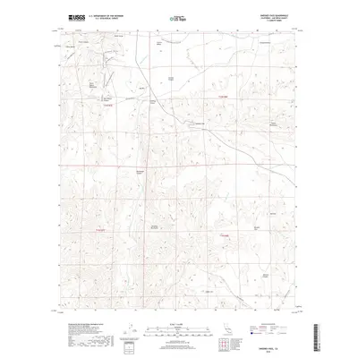
2018 Map of Sweeney Pass
USGS Topo · Published 2018About this map
The Great Southern Overland Stage Rte traces a historic path through this portion of San Diego County, marking a legacy of western transit and communication. The landscape is defined by the convergence of several major formations, including the Tierra Blanca Mountains, the Jacumba Mountains, and the Coyote Mountains. These ranges are separated by narrow corridors and desert washes like Carrizo Canyon and Sweeney Canyon, which lead toward the central bottleneck at Sweeney Pass.
Find a feature on this map
37 named features on this map. Tap any name to fly to it.
Don’t see what you’re looking for? This feature index may not catch every label — zoom into the map to look around manually.
Map Details
Editions of this 2018 Sweeney Pass Map
This is the sole edition of this map. No revisions or reprints were ever made.
Other maps of this area

1931 · Carrizo
USGS Topo · 1:125,000

1939 · Campo
USGS Topo · 1:62,500

1939 · Jacumba
USGS Topo · 1:62,500

1942 · Campo
USGS Topo · 1:62,500

1942 · Carrizo Mtn
USGS Topo · 1:62,500

1942 · Jacumba
USGS Topo · 1:62,500

1942 · Cuyapaipe
USGS Topo · 1:62,500

1950 · San Diego
USGS Topo · 1:250,000

1954 · San Diego
USGS Topo · 1:250,000

1955 · San Diego
USGS Topo · 1:250,000